Live interactive online classes, delivered via Instructor led 1:1 classroom training for the optimum flexibility and convenience.
GIS and Advanced Analytics with Artificial Intelligence (AI)


Recommended By top faculties


Associations
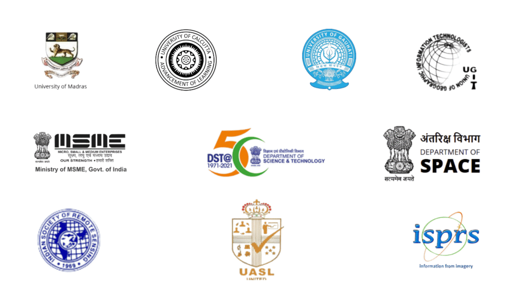
Geoinfra is a recognized nodal training centre approved by IIRS–ISRO, offering students the opportunity to directly enrol in prestigious online courses conducted by these leading space and geoinformatics institutions.
GIS Training Certification Course in Kerala – Geoinfra Technologies India
Introduction – Kerala and Why GIS is Needed Here
Kerala is often called “God’s Own Country”, and anyone who has visited will agree. From backwaters in Alleppey, lush tea plantations in Munnar, to beaches in Kovalam, Kerala is full of natural beauty. But if you speak to people living here, you will also hear about the floods during monsoons, landslides in hilly districts, coastal erosion, and urbanization pressure in cities like Kochi and Thiruvananthapuram.
This is where GIS (Geographic Information Systems) and Remote Sensing make a big difference. Many people think GIS is about maps. But in simple words, GIS means maps plus data – so that governments, researchers, and industries can make smarter decisions. Remote Sensing, which uses satellite images, helps us monitor forests, crops, rivers, disasters, and urban growth.
For a state like Kerala, GIS is more than just a subject. It is a career opportunity and also a tool for solving local problems. That is why Geoinfra Technologies India provides GIS Training Certification Courses in Kerala, delivered through live online classes. The courses are ISO-certified, internationally recognized, and practical.
Why GIS is Important for Kerala
Here are some simple but real ways GIS supports Kerala:
- Disaster Management (Floods & Landslides)
Everyone remembers the devastating floods of 2018. Using GIS, risk maps can be created for flood-prone and landslide areas, which helps in disaster preparedness. - Coastal Erosion
Kerala has a long coastline, but erosion is a serious problem in Kollam, Alappuzha, and Kozhikode. GIS supports coastal monitoring and shoreline management. - Agriculture & Plantation
Farmers in Kerala grow rice, coconut, rubber, tea, and spices. GIS helps in crop mapping, soil analysis, irrigation planning, and plantation management. - Tourism Planning
Kerala depends heavily on tourism. GIS supports tourism mapping, eco-tourism planning, and conservation of heritage sites. - Urban Development (Kochi, Trivandrum, Kozhikode)
Cities are expanding. GIS is used for smart city planning, drainage mapping, traffic monitoring, and solid waste management. - Forests & Biodiversity
Kerala has Silent Valley, Periyar, and Wayanad. GIS is used for forest cover monitoring, wildlife tracking, and biodiversity studies.
So, GIS is not something far away. It is directly linked with the life and future of Kerala.
Why Choose Geoinfra in Kerala
You might be wondering – why Geoinfra?
Here are the key reasons:
- ✅ ISO 9001:2015 Certified Courses – Certificates valid worldwide.
- ✅ IIRS–ISRO Approved Training Partner – Direct recognition from India’s space research body.
- ✅ Live Online Classes – Not recordings, but real-time interactive training.
- ✅ Flexible Timings – Classes between 8 AM – 8 PM IST, convenient for students and professionals.
- ✅ Practical Projects – Work on datasets related to Kerala.
- ✅ Affordable Fees – Cheaper compared to international courses.
- ✅ Placement Support – Internship and job guidance included.
Whether you are a student in Kochi, a researcher in Trivandrum, or a professional in Calicut, Geoinfra is the best option to build GIS skills.
GIS Courses Offered by Geoinfra in Kerala
Geoinfra provides multiple programs depending on your goals:
Short-Term Courses
- 2 Weeks GIS Training – Quick beginner’s introduction.
- 1 Month GIS & Remote Sensing – Learn mapping, spatial data, and satellite analysis.
Specialized Courses
- Python for GIS (1 Month) – Learn to automate GIS tasks.
- Web-GIS (1 Month) – Create online GIS applications.
- Full Stack GIS Developer – GIS + software development for advanced roles.
Advanced Programs
- 3 Months Advanced GIS & Remote Sensing – Project-based learning.
- 6 Months GIS Analyst Certification – Career-focused training with placement support.
- 12 Months Post Graduate GIS Analyst Program – Covers GIS, Remote Sensing, LiDAR, Drones, Python, and Web-GIS.
✅ All programs are ISO-certified and internationally accepted.
How Classes Work
- Mode: Instructor-led online training.
- Format: 1:1 training or group-based training (with discounts).
- Duration: 1–2 hours per day.
- Resources: Notes, exercise datasets, GIS toolkits, recorded lectures.
- Projects: Every student works on Kerala-specific projects.
Example Projects for Kerala Students
Some Kerala-based projects Geoinfra students work on:
- Flood risk mapping in Alappuzha and Kottayam.
- Coastal erosion monitoring in Kollam and Kozhikode.
- Land-use change detection in Kochi metropolitan area.
- Plantation management mapping in Munnar tea estates.
- Forest and biodiversity monitoring in Silent Valley and Wayanad.
Such projects make the training practical and add value to your resume.
Career Scope After GIS Training in Kerala
After GIS training, students from Kerala can explore careers in:
- Government Departments – Agriculture, irrigation, disaster management, forest, town planning.
- Universities & Research Institutes – GIS-based academic research.
- Private Companies – IT firms, construction, real estate, consulting.
- NGOs – Projects in environment, water, and rural development.
- Freelancing – Offer GIS services to clients across the globe.
👉 Some job roles include:
- GIS Analyst
- Remote Sensing Specialist
- Web-GIS Developer
- Urban Planner with GIS expertise
- Environmental Data Analyst
💰 Salaries usually start at ₹3 LPA – ₹6 LPA, but with experience, especially in IT firms, it can go much higher.
Who Should Join These Courses?
- Students – Geography, Geology, Agriculture, Civil, Environmental Science.
- Researchers & PhD Scholars – For academic projects.
- Working Professionals – To upgrade their skills.
- Government Employees – In planning, agriculture, and disaster management.
- Beginners – Even with zero background, you can start.
FAQs – GIS Training in Kerala
Q1: Is GIS tough?
No, it starts from basics, step by step.
Q2: Is the certificate valid abroad?
Yes, ISO-certified and internationally accepted.
Q3: Can I take classes after work hours?
Yes, flexible timings are available.
Q4: What if I miss a class?
Recordings and trainer support are provided.
Q5: Will I get job help?
Yes, with internships, projects, and placement support.
Conclusion – Start Your GIS Career in Kerala
Kerala is one of the most beautiful states in India, but it also faces coastal erosion, floods, landslides, and urban growth challenges. GIS and Remote Sensing are powerful tools to handle these issues, while also providing global career opportunities.
By joining Geoinfra Technologies India’s GIS Training Certification Course in Kerala, you will:
- Learn practical GIS skills,
- Gain an internationally valid certificate,
- Receive internship and placement support.
👉 Whether you are a student, researcher, or professional, this is the right time to upgrade your skills. Start your GIS journey today with Geoinfra in Kerala.
📞 Contact Info
Geoinfra Technologies India – GIS Training in Kerala
- Phone Numbers: +91 6003787569 , +91 6363595601
- Landline: 02269711506
- Email ID: info@geoinfratechnologiesindia.com
- Click to Mail: info@geoinfratechnologiesindia.com | geoinfratechnologiesindiamail@gmail.com