Introduction
Dubai is now one of the most advanced cities in the world, known for its smart city development, infrastructure projects, and innovation in almost every sector. Whether we talk about real estate, transport, logistics, agriculture, or environment, the use of digital technologies is increasing everywhere.
One such important technology is Geographic Information System (GIS) and Remote Sensing (RS). These tools are being used in Dubai for urban planning, environmental monitoring, smart city planning, transport management, and disaster risk reduction.
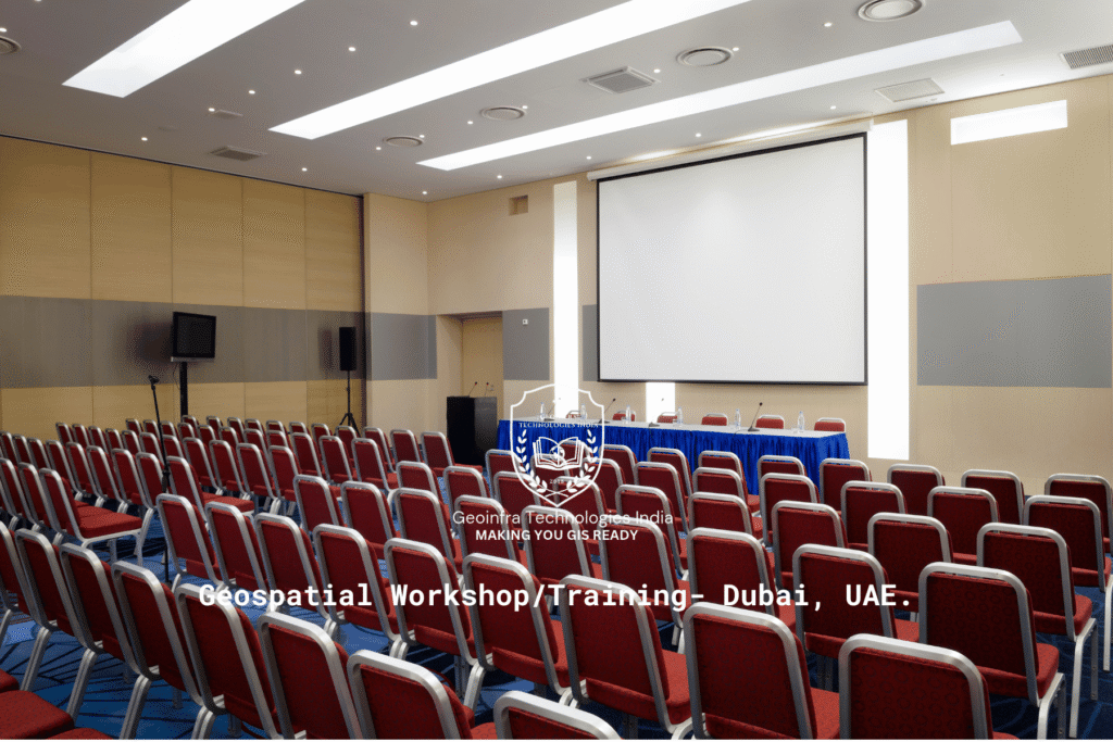
To meet this growing demand, Geoinfra Technologies India has started conducting Geospatial Workshops and Training Programs in Dubai, UAE. These are not regular classes but specialised capacity-building programs designed for both corporate professionals and academic institutions.
About Geoinfra Technologies India
Geoinfra Technologies India was established in 2018 with the aim to provide affordable, practical and industry-ready training in GIS and Remote Sensing. Over the years, we have trained thousands of students across India and outside India as well.
Some highlights about us:
We are ISO 9001:2015 certified.
We provide online instructor-led training (not pre-recorded).
Our courses are based on real-time datasets and projects.
Students trained at Geoinfra have gone on to work in government departments, private firms, NGOs, and international organisations.
Apart from students, we also train corporates, research organisations, and universities through workshops and faculty development programs.
Why GIS Workshops in Dubai?
Dubai is investing heavily in smart city projects, infrastructure development, urban expansion, and environmental conservation. All of these require experts who can work with spatial data.
By attending our workshops, participants learn how to:
Collect and manage geospatial data.
Analyse real-time problems with GIS tools.
Apply GIS for planning, monitoring, and decision-making.
Use drones and satellite images for project analysis.
These workshops are especially useful for:
Corporate Professionals – who work in sectors like construction, oil & gas, environment, and real estate.
Government Departments – involved in urban planning, natural resource management, and disaster management.
Students and Academics – who want to gain practical skills in addition to theoretical knowledge.
Structure of the Workshops
We conduct both offline workshops in Dubai (on client site or institute campus) and online live sessions for remote learners.
Each workshop generally includes:
Introduction to GIS & Remote Sensing – basics of spatial data.
Hands-on Software Training – ArcGIS, QGIS, WebGIS, ERDAS Imagine, ENVI.
Project-Based Learning – case studies related to Dubai (urban expansion, coastal monitoring, desertification).
Drone & Survey Data Training – drone-based mapping, orthomosaic creation, 3D analysis.
Capacity Building Sessions – as per industry or academic requirement.
Corporate Workshops
Corporates in Dubai are increasingly using GIS for:
Smart city planning – planning better transport systems and urban layouts.
Logistics and route optimisation – supply chain monitoring.
Real estate – land mapping and infrastructure design.
Environmental monitoring – tracking desertification, water quality, and air quality.
Our corporate workshops are highly customised. For example, if a construction company needs GIS for site selection, we design the session accordingly. If an oil & gas company wants pipeline monitoring, we prepare a separate module.
Academic & Student Workshops
For universities and colleges in Dubai, we conduct student workshops and faculty development programs (FDPs).
Students get:
Hands-on practice with real satellite data.
Access to over 1000 GIS datasets for exercises.
Practical assignments to prepare them for jobs in GIS.
Internship and project opportunities through our network.
Faculty development programs are designed to help lecturers integrate GIS into their teaching and research activities.
Benefits of Attending
By joining Geoinfra’s GIS Workshop in Dubai, participants get:
✔ ISO-certified completion certificate.
✔ Live instructor-led training (no recorded videos).
✔ 1:1 mentorship for individuals.
✔ Placement assistance and career guidance.
✔ Lifetime access to learning resources.
✔ Flexible schedules (weekdays & weekends).
Applications of GIS in Dubai
Our workshops focus on real-life applications, especially relevant to the UAE. Some examples:
Urban Planning & Smart Cities – transport planning, zoning, utility mapping.
Environment & Sustainability – desert monitoring, coastal protection, climate studies.
Agriculture – precision farming, soil health monitoring, irrigation mapping.
Disaster Management – flood mapping, hazard analysis, emergency planning.
Infrastructure Development – road planning, metro mapping, asset management.
Energy & Oil & Gas – site selection, route monitoring, environmental compliance.
Why Choose Geoinfra Technologies India in Dubai?
Experience since 2018 with students across India and abroad.
ISO-certified courses recognised globally.
Project-driven learning (not just theory).
Customised modules for corporates, students, and faculty.
Strong placement support for students.
Access to live datasets and drone projects.
FAQs
Q1: Do I need prior knowledge to attend?
No. Even beginners can attend.
Q2: Is the training online or offline?
Both options are available.
Q3: Do you give certificates?
Yes, ISO-certified certificates are provided.
Q4: Do you provide internships?
Yes, selected students get internship opportunities.
Q5: Can corporates request customised training?
Yes, workshops are designed as per company requirements.
Contact Us
📞 Call us: +91 6003787569 | +91 6363595601
📧 Email: info@geoinfratechnologiesindia.com
🌐 Visit: www.geoinfratechnologiesindia.com
Take the first step towards GIS and Remote Sensing expertise in Dubai. Whether you are a student, faculty, or corporate professional, our workshops will give you the skills and confidence to succeed in the geospatial industry.