Live interactive online classes, delivered via Instructor led 1:1 classroom training for the optimum flexibility and convenience.
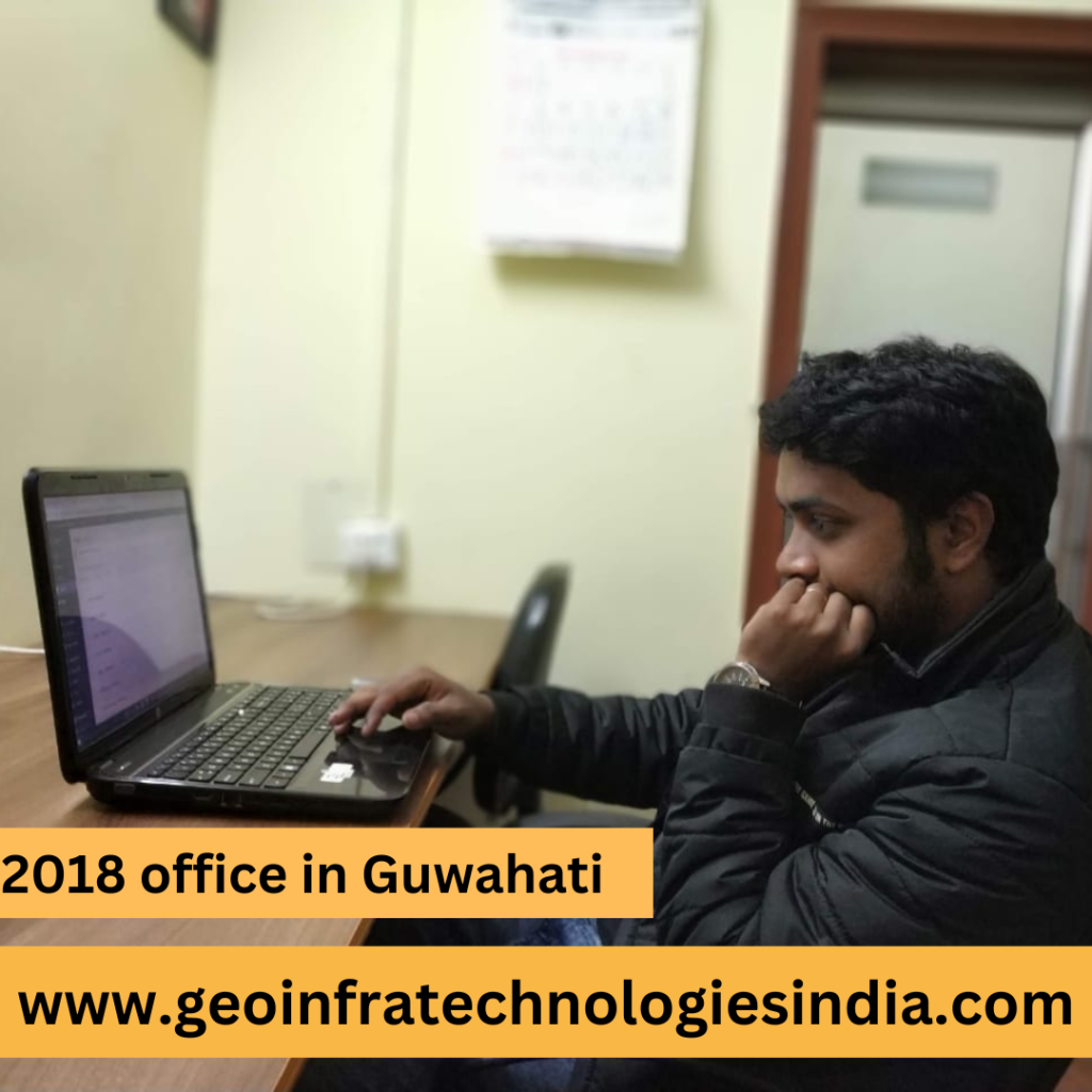
This is Geoinfra Technologies India a premier institute in GIS or Remote Sensing and Geo informatics research and training centre in Kerala. Established in the year 2018 by Arup Kumar Ghosh, a GIS enthusiast by passion, Geoinfra Technologies India is effectively catering the need of GIS training to the interested candidates wishing to enhance their career in GIS, remote sensing and Geoinformatics.
Our institute in Kerala covers training programs that may suit the need of a professional, a student, as well as a researcher. The emphasis placed on GIS, remote sensing, and geoinformatics means that our training stay relevant to current trends in the industry as well as at the forefront of current technologies. If you are a beginner starting your career or an experienced candidate who wants to have more experience, the Geoinfra Technologies India is the best platform to grow.
Our center in Kerala is equipped with all the necessary and modern day equipment and technology that can enable the participants to have a practical feel on GIS and remote sensing technologies. Another strength of the institute is the fact that majority of the trainers that facilitate the training sessions are professionals who have actual working experience. As a member of our training center in Kerala, we can offer you our detailed and real life oriented curriculum which include all the aspects of GIS, remote sensing & geoinformatics.
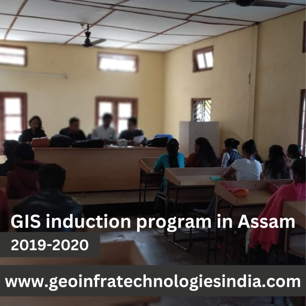
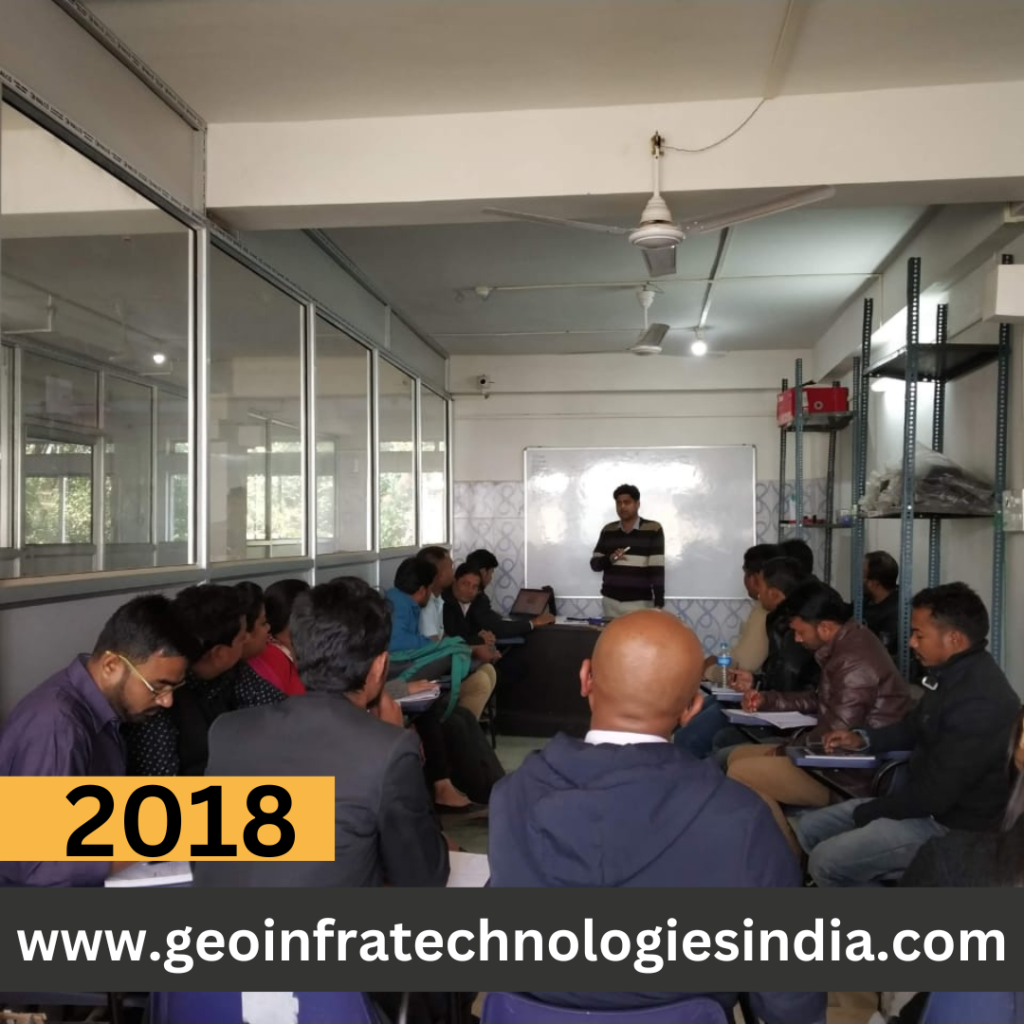
Geoinfra Technologies India is not only an institute of GIS and Remote Sensing, it is a center of excellence and knowledge sharing in the areas of GIS, Remote Sensing and geoinformatics. This center in Kerala provides ample chance to its participants through workshops, seminars and conferences in which they come across with experts and other related folks. These activities are part of the goal to build a proactive society of GIS and remote sensing professional.
Geoinfra Technologies India is one of the leading training institute in Kerala and we ensure to offer quality training according to the dynamic GIS and remote sensing industry. To ensure that you can successfully grab these certificates, we offer our programs with in–class as well as online modes. That way there will be nobody incapable of availing the help, professionalism and resource that our center in Kerala can provide.
Opportunities are plenty with Geoinfra Technologies India, for furthering your career in GIS, remote sensing and geoinformatics. Please, visit our web-site at www.geoinfratechnologiesindia.com to know more about our training institute and the courses that are taught in Kerala. Become one of us and be with the expanding pool of professionals who are contributing to the development of GIS and remote sensing.
ArcGIS Desktop training in Kerala
Geoinfra Technologies India provides the best training on ArcGIS, equipping participants with essential skills and knowledge. Our expert-led courses ensure a comprehensive understanding of geospatial analysis and mapping.
ArcGIS Pro training in Kerala
Geoinfra Technologies India offers top-tier training on ArcGIS Pro, empowering participants with essential skills and knowledge. Our courses provide a thorough understanding of advanced geospatial analysis and mapping techniques.
QGIS training in Kerala
Geoinfra Technologies India delivers exceptional training on QGIS, equipping participants with vital skills and knowledge. Our expert-led courses ensure a comprehensive grasp of advanced geospatial analysis and mapping techniques.
Erdas Imagine training in Kerala
Geoinfra Technologies India offers excellent training on ERDAS IMAGINE, equipping participants with crucial skills and knowledge. Our expert-led courses provide thorough instruction in advanced geospatial analysis and remote sensing techniques.
Google Earth Pro training in Kerala
Geoinfra Technoligies India provides outstanding training on Google Earth Pr, arming participants with essential skills and knowledge. Our expert instructors offer in-depth courses that cover advanced geospatial analysis and mapping techniques with KML layers.

Email – info@geoinfratechnologiesindia.com / geoinfratechnologiesindiamail@gmail.com
Geographic information system(s), GIS (noun)
GIS is a technology that is used to create, manage, analyze, and map all types of data.
GIS connects data to a map, integrating location data (where things are) with all types of descriptive information (what things are like there). This provides a foundation for mapping and analysis that is used in science and almost every industry. GIS helps users understand patterns, relationships, and geographic context. The benefits include improved communication, efficiency, management, and decision-making.
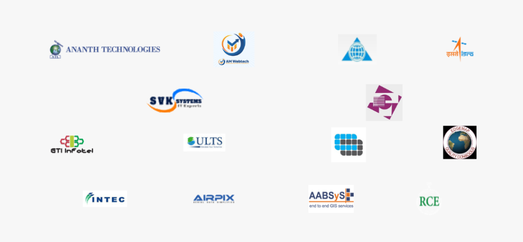
OUR COLLABORATIONS AND ASSOCIATIONS